Determine overall population projections that will shape transportation, housing, and growth patterns.
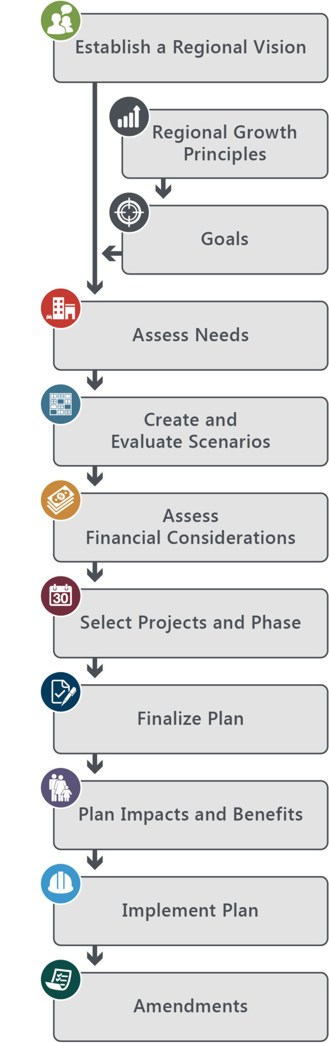
At the start of the transportation planning cycle, Wasatch Front Regional Council (WFRC) analyzed current and future travel patterns. For regional roadways, this included a review of existing and projected highway congestion conditions to identify locations where congestion mitigation should be explored through the planning process. This involves an evaluation of Transportation System Management (TSM) strategies, such as signal coordination, intersection widening, and access management; and Transportation Demand Management (TDM) strategies, such as ridesharing, high occupancy vehicle (HOV) lanes, and telecommuting, as potential solutions to regional congestion rather than increasing highway capacity. Locations have been identified where TSM and TDM strategies can delay or eliminate the need for new capacity. Travel demand is affected by transportation investments themselves and thus is not a fixed assumption through the planning process. New transportation investments increase access to land which affects the desirability to live and work in those locations which, in turn, affects developer activity and local land use policy over time. This interaction of transportation and development is explored through the scenario planning stage of the Regional Transportation Plan (RTP).
Regardless, WFRC knows that current travel dynamics will generally persist regardless of shifts in transportation investments and development decisions over the next 25 years.
Population and travel demand is projected to increase significantly along the Wasatch Front. The current roadway, transit, and other transportation modes networks will have to grow to meet this demand. The magnitude of the inter-county travel flow illustrates the interconnected economy of the Wasatch Front region and the need for continued access to support economic vitality. Based upon regional district-to-district trip estimates, the primary travel flows, in order of magnitude, are indicated below.
- East/west flow between northwestern and northeastern Salt Lake County
- North/south flow across the Salt Lake/Utah county line
- North/south flow between southwestern and northwestern Salt Lake County
- North/south flow across the Davis/Weber county line
- East/west flow between southeastern and southwestern Salt Lake County
- North/south flow across the Salt Lake/Davis county line
- East/west flow between western and southeastern Weber County
A review of more detailed travel demand forecasts for the 2015-2040 RTP indicate that the following six major corridors will experience the most serious mobility deficiencies.
- I-15 along the Wasatch Front in Weber, Davis, and Salt Lake counties
- East/west flow in the southwest quadrant of Salt Lake County (between 6200 South and 14600 South)
- East/west flow in the central west portion of Salt Lake County (between 3100 South and 6200 South)
- North/south flow in southern and western Salt Lake County
- North/south and east/west flow in northwestern Davis County
- East/west flow in western Weber County
The 2015-2040 RTP process is designed to directly address these needs, along with transit requirements, and other transportation mode improvements. This interconnected system of transportation networks helps meet the future travel demand of a growing population.
For additional information regarding the RTP, please contact Jory Johner.