Funds planned for 15 priority projects, including enhancements for pedestrians and…

August Map of the Month: Weber County Housing Suitability Map
Location, Location, Location. This age-old maxim still rings true.
As the Wasatch Front grows, the residential development market will continue to provide new housing options. If you’re thinking about where new housing might best fit within your community, there are many factors to consider, including the level of access to basic needs at potential locations.
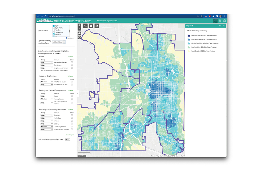
Our August Map of the Month highlights a new interactive map that allows users to set their own criteria to create a custom housing suitability map for any single city or combination of cities in Weber County. We’re working to provide similar information in a region-wide map expected later this year.
In the map a number of location-based factors are easily selected, prioritized, and displayed including urban form, access to jobs, major roads, transit, bike lanes/paths, and other community amenities. After selections are made, the map recalculates the suitability scores in real time to reflect priorities supplied by the user.
This map was created as part of the Weber County Housing Affordability and Access Study, a project funded through the WFRC administered Transportation and Land Use Connection (TLC) program.


