Input Updates
Highway Network
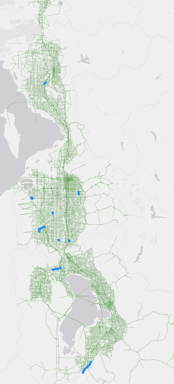
The highway network was updated minorly to accommodate projects from WFRC’s adopted Amendment #2 and MAG’s draft Amendment #2 of the 2023-2050 RTP. Figure 1 shows the areas that were updated for Amendment #2.

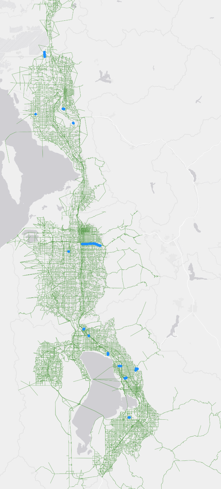
The SEGID field along with other fields were updated as part of regular network maintenance (See Figure 2).

Transit Networks
The transit networks were updated to reflect changes in the highway network.
OGX and MVX routes were updated to better align with current conditions and assumptions.
Segment Shapefile
A DIRECTION field was added onto the segment shapefile where each segment was assigned NB/SB for a segment in the northbound or southbound direction, and EB/WB for a segment in the eastbound or westbound direction to support the segment-based link direction calculation (See Segment Direction). The Jupyter Notebooks within the 1_Inputs/6_Segment/_Segment Processing Tools folder were updated to account for the new DIRECTION field.
A new folder called Corridors was added to the 1_Inputs/6_Segment directory. This folder includes various shapefiles and geojsons files describing corridors (highway, transit, freight, etc.) to support data aggregation and visualize in the vizTool.
TAZ Shapefile
The TAZ.shp was updated by renumbering the small districts as well as including two new fields: PLANAREA and CITYGRP. PLANAREA describes which modeling region the TAZ falls in and CITYGRP represents city groups (a new geographic definition to describe groupings of cities).
The renumbering of the small districts was also reflected in the Small_Districts.shp. The small district geographies were also updated.