Funds planned for 15 priority projects, including enhancements for pedestrians and…
Charting a Path Forward to Keep Cyclists and Pedestrians Safe
Happy National Bike Month! As the days get longer and temperatures rise, we hope you will be able to get out to safely enjoy the paths and open spaces along the Wasatch Front.
As many of us are too keenly aware, there have been numerous pedestrian and cyclist injuries and fatalities this year, as reported in these headlines. These tragedies emphasize the need for safety to remain our top priority when we’re behind the wheel, and also when we’re designing new roads and redesigning existing ones. Policy changes can also have a positive impact to make our streets safer, in response the Salt Lake City Council has recently reduced certain speed limits from 25 mph to 20 mph.
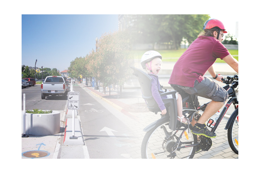
Finding routes that feel safe can sometimes be a challenge when traveling by bike. Physical infrastructure changes can improve safety and can make a community safe for a broad range of cyclists and pedestrians. WFRC’s May Map of the Month (read on to the next article) displays which routes are safe and comfortable for nearly all riders, and those which require more confidence and expertise to navigate. We have a substantial amount of work to accomplish as a Region to ensure that everyone is connected to routes where they feel comfortable riding.
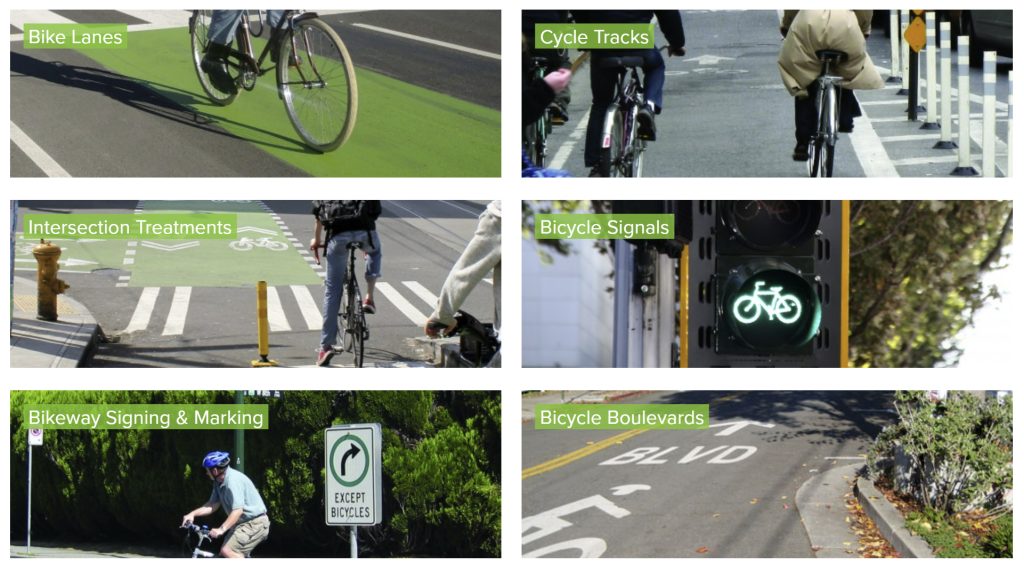
How can we design streets to be safer, and more comfortable, for all users? Slower speeds, narrower lanes, better protection (through grade separation and barriers), safe construction detours, and a complete streets approach to design are great starts. Important elements to keep pedestrians safe include adding pedestrian signals to give walkers a head start across a street, curb extensions, high-visibility crossings (complemented by flashing beacons or raised crosswalks), and protected sidewalks all help. Best practices to improve safety for cyclists include barrier-protected lanes, bicycle signals, clear network signage & maps, street markings around conflict zones (e.g., loading zones), and intersection treatments at major crossings (e.g., bike boxes), to name a few. The National Association of City Transportation Officials (NACTO) provides a wealth of resources to help communities, including design guides for practitioners, policy-makers, and advocates alike.
Our Region is home to many high-quality bike and pedestrian paths and routes for residents to safely enjoy, and that other communities can look to for inspiration. A few examples include the Golden Spoke Trail network, Cougar Boulevard in Provo, and cycle track treatments on Grant Avenue in Ogden and 300 South, 200 West, and 300 East in Salt Lake City.
Additionally, WFRC routinely works with local leaders and community stakeholders to help them create, update, and enact their active transportation plans. The Wasatch Choice Vision, our Region’s plan for the future, includes bike and pedestrian facilities drawn from adopted regional and local long-range plans. We’ve also prepared an array of active transportation GIS data resources to help communities identify areas that may benefit from increased investment while visualizing how safe, connected routes could improve the network as a whole.
Finally, there are a variety of organizations throughout our Region advocating for safer streets and bike and pedestrian infrastructure. If you are interested in learning how you can help make a difference, below is a list of organizations to connect with.
Related Posts